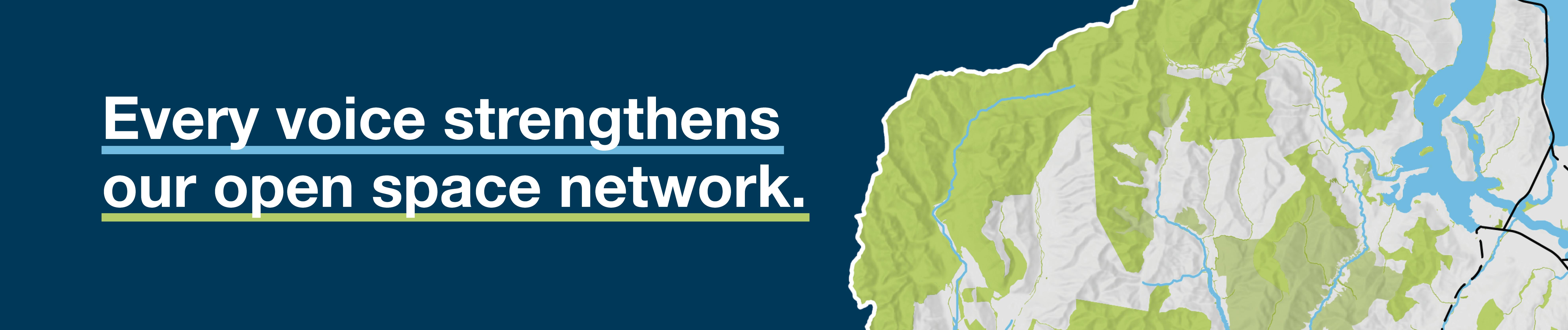
Blue Green Network Plan
Feedback on the Blue Green Network Plan closed on Friday 12 December 2025.
We're now reviewing all submissions before the final plan is presented for adoption at a date to be confirmed.
The Blue Green Network Plan is designed to evolve — as our communities grow, so too will the opportunities to shape and refine the network.
>> To view all online feedback received, click here.
>> To view a summary of the engagement and what we heard from participants, click here.
Queenstown Lakes District is world-renowned for its stunning landscapes — from shimmering lakes and winding rivers to scenic reserves and vibrant parks. But our commitment to protecting and enhancing these natural treasures and how they’re connected must grow as our communities do too.
That’s where our Blue Green Network Plan comes in.
About the Blue Green Network Plan
Our draft Blue Green Network Plan maps out the parks, open spaces, trails, and waterways across Priority Development Areas and settlements in the Queenstown Lakes District — and identifies what should be protected, enhanced, and better connected as we grow.
This plan is about more than just green spaces. It’s about creating well-designed neighbourhoods, resilient communities, and a healthier environment for everyone.
Why a Blue Green Network Plan matters
By identifying and weaving together our blue (waterways), green (natural spaces), and community (parks, trails, civic spaces) networks in one single place, we’ve created a practical resource that both Council and developers can use to understand what existing and future residents may benefit from in their local areas. That information can then be used to inform future development.
Other benefits of the Blue Green Network Plan include:
- Enhance biodiversity and protect native habitats
- Improve water quality and support Te Mana o te Wai
- Build resilience to climate change and natural hazards
- Create more spaces for recreation, sport, and social connection
- Support mental and physical wellbeing
- Foster education and environmental stewardship
- Ensure accessibility and inclusivity for all
- Promote sustainable development
- Enhance the visitor experience and local pride
Principles behind the Plan
Our Blue Green Network Plan is built on five key principles:
- Mana o te Wai – Prioritising water as the foundation of healthy environments and communities
- Woven into the context – Tailoring solutions to each place while contributing to the wider network
- Coexistence of nature and people – Designing spaces that benefit both ecosystems and everyday life
- Connecting people and place – Strengthening access and belonging through integrated networks
- Fit for purpose and well serviced – Ensuring open spaces are well-located, well-designed, and multifunctional
Where the Plan applies
Our Blue Green Network Plan identifies blue, green, and community features in both current and future development areas across the district, including:
- Settlements: Arrowtown, Kingston, Glenorchy, Cardrona, Luggate, Hāwea, Makarora
- Priority Development Areas: Town Centre to Frankton Corridor, Five Mile Urban Corridor, Te Pūtahi Ladies Mile, Te Tapuae Southern Corridor, Southern Wānaka, and Wānaka Town Centre – Three Parks Corridor
Documents
Draft Blue Green Network Plan
Local Blue Green Plans
These are all included in the Draft Blue Green Network Plan document but can be viewed individually below.
- Albert Town
- Arrowtown
- Arthurs Point
- Cardrona
- Fernhill-Sunshine Bay
- Frankton
- Glenorchy
- Kelvin Heights
- Kingston
- Lake Hāwea
- Luggate
- Makarora
- Queenstown-Queenstown Hill
- Te Pūtahi-Eastern Corridor
- Te Tapuae Southern Corridor
- Wānaka North
- Wānaka West-Wānaka South
- Wānaka-Three Parks
Feedback closed on Friday 12 December 2025.
What happens next?
The final Blue Green Network Plan will be presented to Council and if adopted, we’ll continue engaging with communities and landowners to realise opportunities identified in the plan.
Maps in the Blue Green Network Plan are intended to be regularly updated so they remain relevant and progress can be monitored.
The Plan is designed to be a guiding document that evolves as development occurs in PDAs and settlement areas, providing an up-to-date overview of what needs to be protected, maintained, or provided for in these areas. The document will inform Council planning for future spatial planning and structure plans, and will enable Council to communicate to developers and landowners.
We expect to provide other opportunities to review and feedback on the plan as and when significant changes occur in the district.
Custom

Documents
-
 2025 Feedback
-
Draft Blue Green Network Plan
-
Local Blue Green Network Plans
-
 Albert Town_Local Blue Green Plan.pdf (898 KB) (pdf)
-
Arrowtown_Local Blue Green Plan.pdf (1.44 MB) (pdf)
-
Arthurs Point_Local Blue Green Plan.pdf (1.36 MB) (pdf)
-
Cardrona_Local Blue Green Plan.pdf (640 KB) (pdf)
-
Fernhill-Sunshine Bay_Local Blue Green Plan.pdf (1.03 MB) (pdf)
-
Frankton_Local Blue Green Plan.pdf (996 KB) (pdf)
-
Glenorchy_Local Blue Green Plan.pdf (735 KB) (pdf)
-
Kelvin Heights_Local Blue Green Plan.pdf (807 KB) (pdf)
-
Kingston_Local Blue Green Plan.pdf (584 KB) (pdf)
-
Lake Hāwea_Local Blue Green Plan.pdf (574 KB) (pdf)
-
Luggate_Local Blue Green Plan.pdf (555 KB) (pdf)
-
Makarora_Local Blue Green Plan.pdf (789 KB) (pdf)
-
Queenstown-Queenstown Hill_Local Blue Green Plan.pdf (1.05 MB) (pdf)
-
Te Pūtahi-Eastern Corridor_Local Blue Green Plan.pdf (944 KB) (pdf)
-
Te Tapuae Southern Corridor_Local Blue Green Plan.pdf (884 KB) (pdf)
-
Wānaka North_Local Blue Green Plan.pdf (863 KB) (pdf)
-
Wānaka West-Wānaka South_Local Blue Green Plan.pdf (953 KB) (pdf)
-
Wānaka-Three Parks_Local Blue Green Plan.pdf (1.03 MB) (pdf)
-